
If you needed any reminder that the calendar flipped from November to December over the weekend, let this week's forecast be a not so subtle reminder. To be fair, we will start the week with a mix of sunshine and clouds. It will be cooler than average with overnight lows below freezing and then slightly back above there.
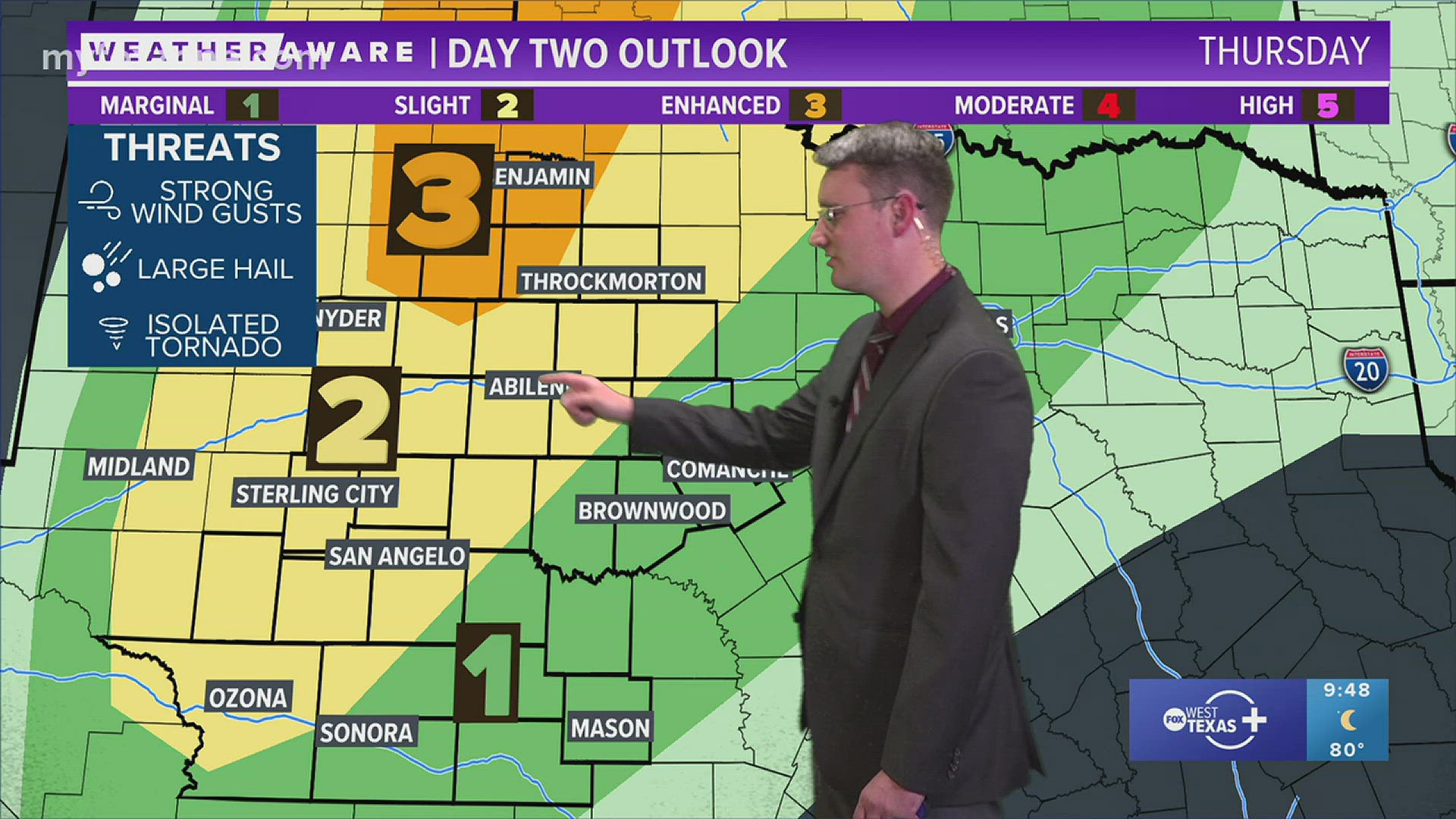
Winds will remain light, so there will be an increased chance for frost especially as we add more moisture to our forecast. That added moisture will be the fuel for showers and thundershowers beginning Thursday with the best coverage Friday and Friday night.
Here's the setup and what I am watching closely Friday. A strong area of low pressure will track through the Lone Star State, that will also provide us with ample moisture. Then, I'm forecasting a cold front to move in Friday during the day.
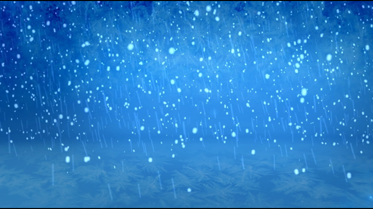
This will provide additional coverage for showers and thunderstorms. Some of the thunderstorms could be on the stronger side. The timing of the front is crucial. Some model data suggests a rain/snow, possibly wintry mix for areas north of the Concho Valley. It's important to note for an ideal winter weather setup (ideal meaning conditions favor a wintry forecast) the cold air needs to be here first.

Because the cold air will arrive in the middle of this next forecasted system, that would likely give us a cold rain instead of a wintry mix. This part of the forecast will need to be watched closely. Here is what you can expect: below average temperatures and widespread rain to end the week and possibly to start the weekend.