
SAN ANGELO, Texas — Wildfires have been raging across the West, with dozens reported dead and millions of acres scorched. Smoky skies have lead to horrendous air quality up and down the West Coast and areas such as San Francisco looking like nighttime in the middle of the day.
Well, that smoke plume has been moving eastward over the past several days, riding strong upper-level winds.
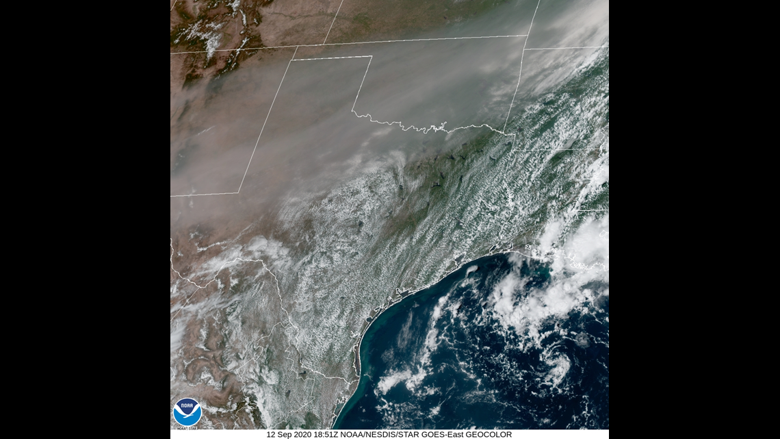
For the most part, West Central Texas has been spared from much of the smoky skies. On Saturday, Sept. 12, visible satellite imagery showed a thick plume of smoke moving into parts of West Texas.
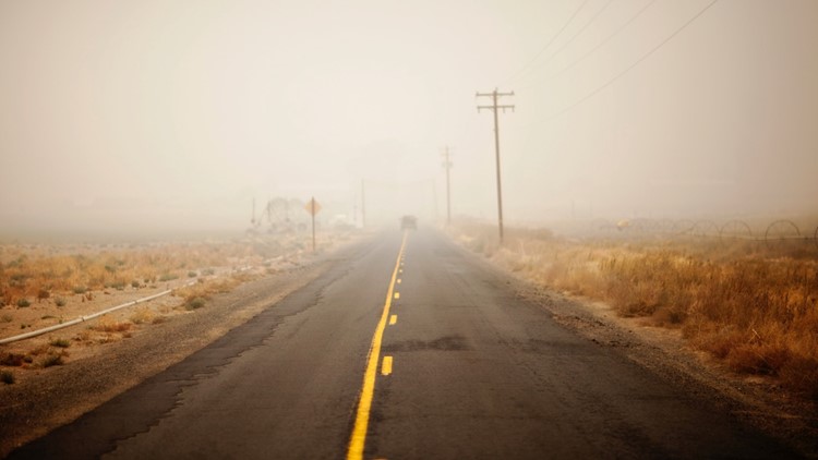
The Permian Basin area experienced a thick smoke layer in the upper atmosphere that lead to extremely hazy conditions. However, upper-level winds aloft and high pressure over southeast Texas kept much of the smoke plume northwest of the San Angelo and Abilene areas.

This week, hazy skies that have almost completely blocked the sun have been reported in the Midwest and Northeast. Some smoke was also reported in Europe as well. This is thanks to western smoke riding along a strong jet stream in the northern United States, that pushes eastward to Europe.
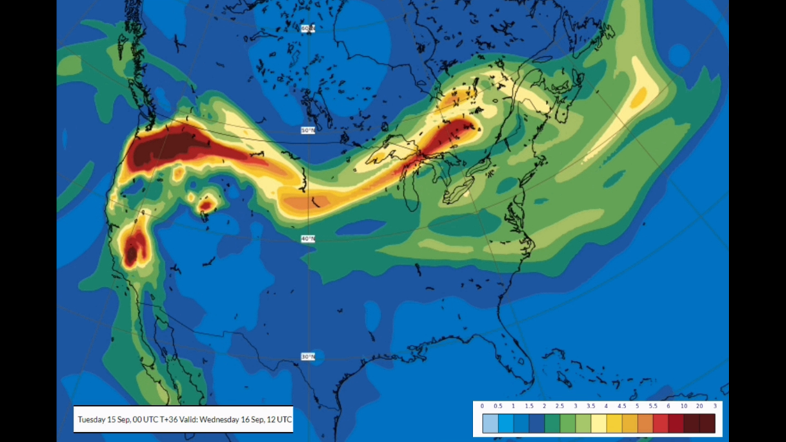
In a smoke forecast below, courtesy of the Copernicus Atmosphere Monitoring Service, the green, yellow and reds show where the smoke is the thickest. The image is valid for Wednesday, Sept. 16. The thick smoke remains along the jet stream in the northern United States. However, small amounts of smoke (the dark blue) do make their way southward into West Texas. This will cause some hazy conditions across the area, but air quality will not be affected.

This weekend, the jet stream will curve a little more, allowing a cold front to drop out of Canada towards the eastern United States. This will cause a trough to set up out east and a ridge to set up out west. This will allow thicker smoke to drop southward into parts of the Southern Plains.
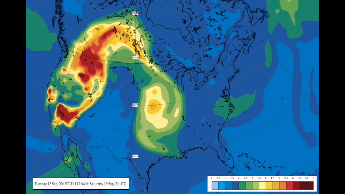
The image below shows the smoke forecast for Saturday, Sept. 19. The thickest smoke will stay to the northeast of West Texas, but increasing haze for the weekend looks possible.

Stay with FOX West Texas for the latest information.